Mullet Bay Snorkeling: St. Maarten Reef Guide for Beginners
Mullet Bay snorkeling pairs calm, easy sand entry with a rocky shoreline reef. Learn which side to swim, how deep it gets, and what fish you may see.
On this page
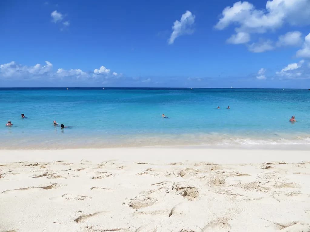
Mullet Bay is the rare St. Maarten beach where you can walk off the sand, pull on a mask and be over reef fish within a few minutes. The bay sits on the island's southwest corner just around the corner from Maho Beach, and the snorkeling runs along the rocky shoreline rather than out past a long swim. That combination makes it a sensible first stop for families, new snorkelers and anyone who wants a low-effort session before a bigger boat day.
Where Mullet Bay Is
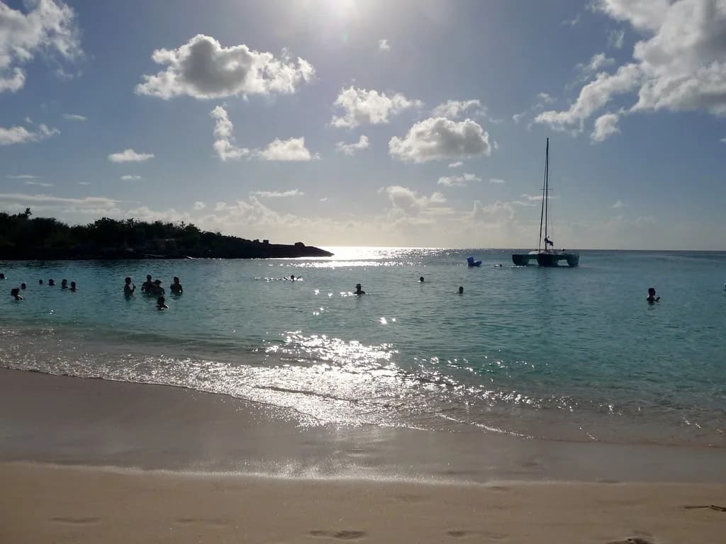
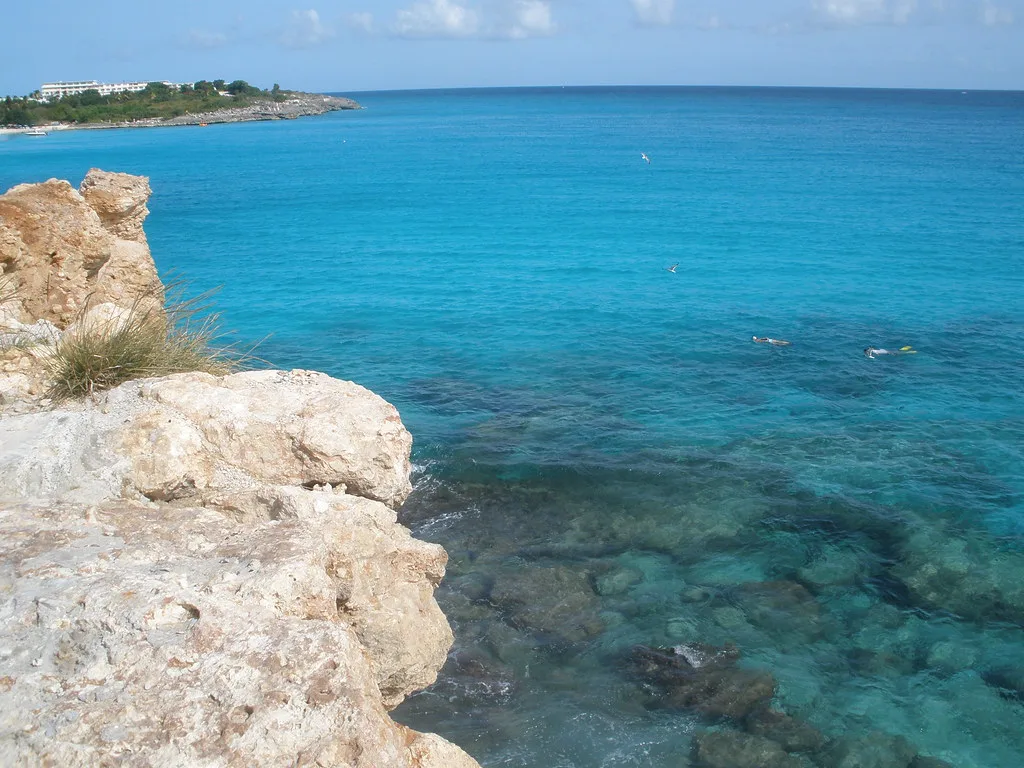
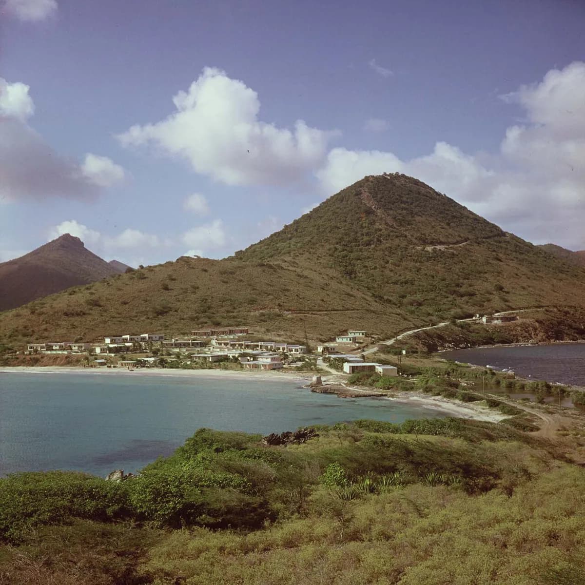
Mullet Bay occupies St. Maarten's southwest shoreline, a short hop from the planes at Maho Beach. The beach is a broad curve of sand with rocky arms at either end, and those rocks are what make the bay worth packing fins for. For a wider look at the island's options, our guide to snorkeling in St. Maarten maps the Dutch-side beaches against the French-side reserves.
The bay is sheltered compared with the island's windward coast, which is why the water at the sand tends to be gentler. Plan to set up somewhere near the middle of the beach if you have kids or non-snorkelers in the group, then walk to whichever rocky end you intend to swim.
Getting In
Entry is from the sand. You wade in over a shallow, gentle shelf, which is the main reason Mullet Bay suits beginners better than a rock-ledge site. Once you are waist-deep, swim to the edge of the bay where the sand gives way to rock and the bottom starts to show structure.
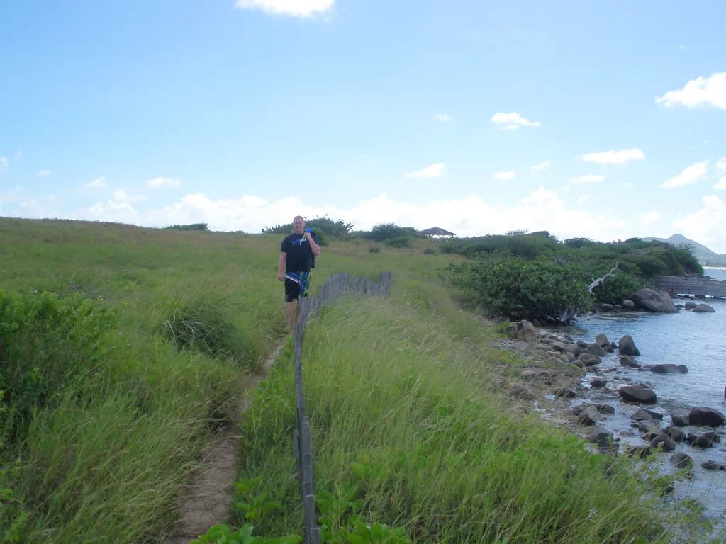
On the right side of the beach, the sand meets a rocky shoreline heading toward Cupecoy; you can snorkel along that edge rather than walking the whole way. Water shoes help at both ends, where the entry shifts from soft sand to uneven rock and rubble.
The Two Snorkel Zones
Facing the water, Mullet Bay splits into two distinct snorkel zones. The left side is a shallow rock-wall run with fish crowded close to the shore; the right side is a rockier, coral-encrusted stretch leading toward Cupecoy. Each rewards a different kind of swimmer, so pick one and do it thoroughly instead of trying to cover both in a single session.
The best snorkeling is toward the rocks rather than over open sand, where a few fish sit right off the beach. If you only have one tank of energy, work the rock line and skip the middle of the bay.
Depth and Reef Structure
Close to shore on the left side, the bottom drops to roughly four to six meters along the rock walls, so you are swimming over decent depth almost immediately rather than over a long shallow flat. Snorkelers comfortable in that depth get the most out of the wall, while nervous swimmers can hug the shallower sand and still see fish.
Coral cover here is modest. Expect rock walls, a few sponges and encrusting growth rather than the dense reef you would find in a protected reserve, and judge the site on fish life and easy access instead. The far right side, toward Cupecoy, holds coral-encrusted rock formations out in the water and is worth the longer swim for stronger snorkelers.
What You Will See
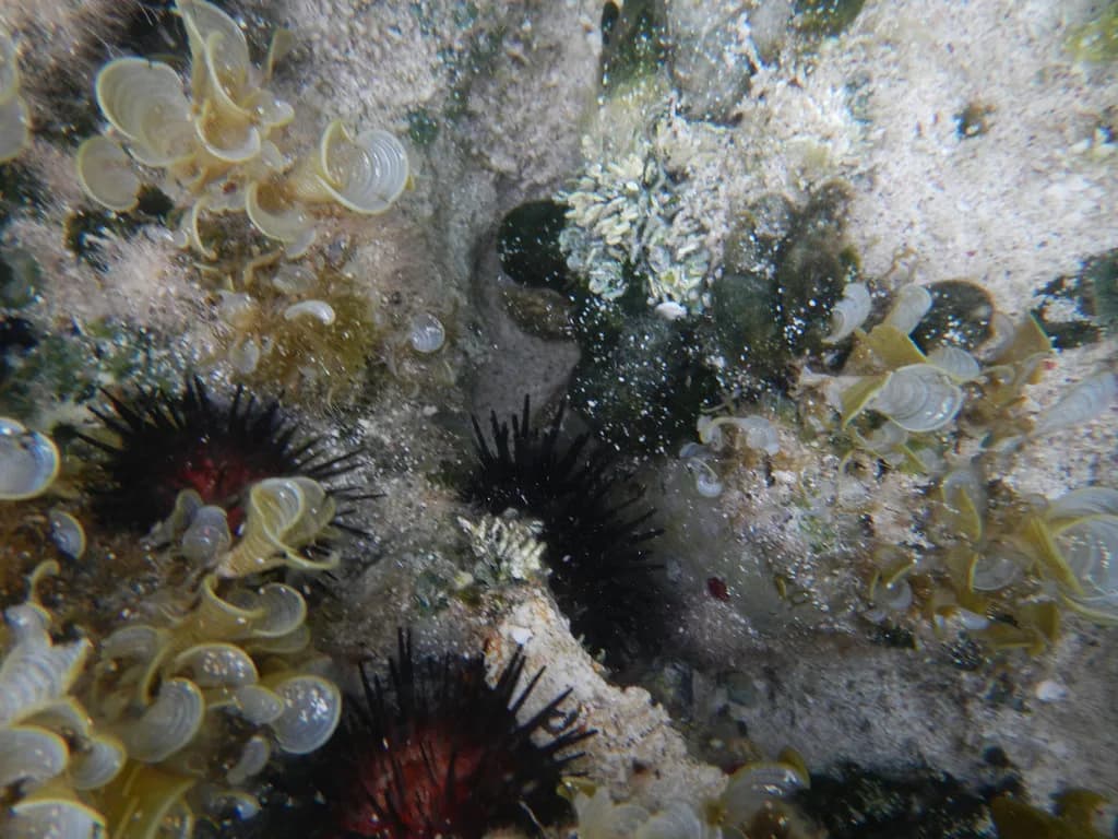
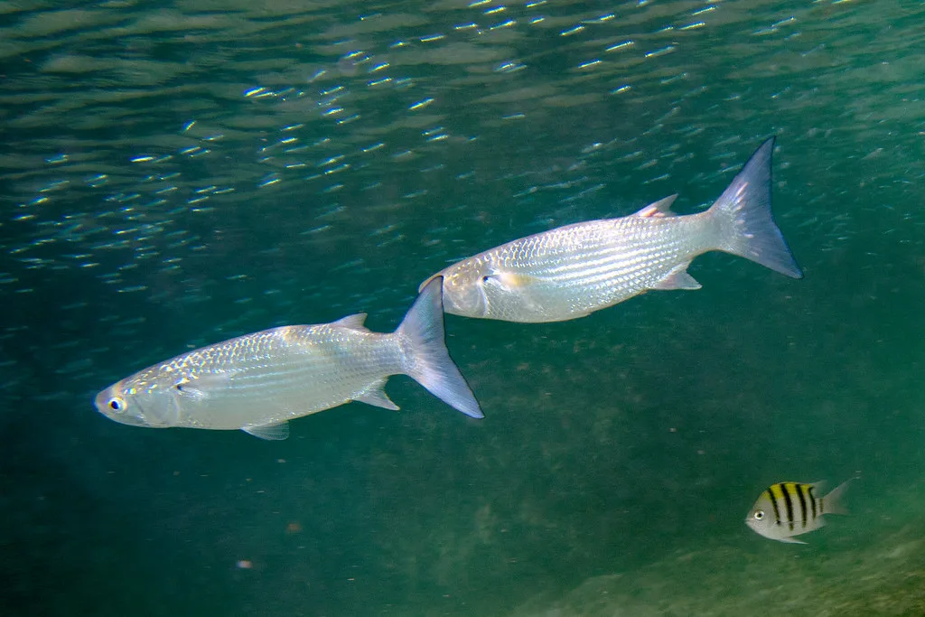
The rocky edges hold a wide variety of reef fish, and puffers are among the regular sightings. The left-side rock walls carry numerous fish and invertebrates, including sponges, which reward slow, close scanning rather than fast laps. Bring a mask that fits well, because much of the life sits in small pockets and indentations.
Treat any turtle, ray or larger visitor as a bonus rather than a plan, and keep the published distance from everything you meet. Never touch, feed or chase animals, and leave shells and coral where they sit.
The Left Side in Detail
Enter on the left side of the beach and follow the rocky shoreline, staying close to the wall as it curves away. Most of the activity is near the shore, where fish and invertebrates cluster on the rock faces, so you do not need to head out far.
Work each indentation in the shoreline rather than swimming past it; those pockets shelter fish and are the most interesting part of the run. Keep your turns slow and your fins clear of the rock, then swim back the way you came.
The Right Side Toward Cupecoy
Off the far right side of the beach, the sand gives way to rocks and you can snorkel along them in the direction of Cupecoy. The rockier formations there are the better-looking snorkeling on this side, with coral-encrusted structure out in the water.
You can also walk the shoreline and enter near Sapphire Beach Club instead of swimming the whole distance. Covering the stretch between Mullet Bay and Cupecoy in one go is a job for a strong, confident swimmer with a buddy, not for a first session.
Skill Level and Who It Suits
Beginners and kids do well on the left side: sand entry, short distances and the option to retreat to shallow water whenever they like. Confident swimmers and snorkelers with a few sessions behind them get more from the right side, where the swim is longer and the structure more broken.
If the group splits by ability, put the strong swimmers on the Cupecoy-side line and keep the rest on the rock walls near the entry, meeting back on the sand. That way nobody is pushing past their comfort zone to stay together.
Current, Surf and Conditions
Mullet Bay is a sheltered southwest beach, but there is still current along the rocks, and the usual advice is to keep close to shore as you work the northern rocks. Check the water before you commit: look for white water near the points, watch how the surge moves along the wall, and start your swim against the current so the return leg runs with it.
On the island's windward beaches, such as Dawn Beach, current and surf are a regular concern around the reef; on Mullet Bay the shelter helps, but the rocky points still catch moving water. Stay close to shore, swim with a buddy and keep an eye on the weather.
Best Time of Day and Season
Go early. Morning light is flatter and the wind usually builds through the afternoon, which makes the rock walls easier to read and the surface calmer for the swim back. Arriving early also means the sand is quiet and you can pick your entry point.
Swell direction matters more than the calendar here: when a north or northwest swell wraps into the bay, the rocks get surge and the entry becomes lumpier. Check the marine forecast from the Meteorological Department of Sint Maarten before you set out, and skip the swim if the bay is taking swell.
Hazards to Plan Around
The main hazards are current near the rocks, surge at the points and uneven footing where the sand turns to rubble. Plan your exit before you enter, keep the beach in view and stay inside the bay rather than drifting toward the channel off Maho.
Maho Beach sits just around the corner, which means aircraft traffic and boats are part of the neighborhood. Keep close to shore as the sun drops and boat traffic picks up.
Parking and Facilities
Plan on basic beach logistics: carry water, sun protection and your own gear, and treat the sand as a place to leave nothing valuable while you swim. Reef-safe sunscreen is the right default across St. Maarten's beaches, and a rash guard saves reapplying.
Arrive early for the easiest parking and the calmest water, and leave valuables at your accommodation rather than on the sand. If you need rentals or a guide, arrange them before you go rather than counting on them at the beach.
Rules and Wildlife Etiquette
Treat the rocks as living substrate: no standing on coral, no collecting, and no touching anything you find. Keep a respectful distance from fish, turtles and rays, and let them move away on their own terms rather than chasing a photo.
Use reef-safe sunscreen and a long-sleeve top, and take out everything you bring in. If you want a guided experience with a briefing on local rules, book a snorkel trip through an operator rather than guessing at the reserve boundaries.
Combining Spots Nearby
Pair Mullet Bay with Cupecoy Beach on the same day: the two share a rocky shoreline, so you can snorkel one in the morning and the other after lunch. Maho Beach is minutes away if you want to watch the planes come in after your swim, and Maho Beach Snorkeling covers what that stretch of water offers.
If you want a reserve with a marked trail, plan a separate day for Pinel Island snorkeling, where a designated route runs along the reef. Creole Rock snorkeling near Grand Case suits stronger swimmers or a boat trip, and Little Bay, St. Maarten Snorkeling offers another sheltered option closer to Philipsburg.
Plan Your Mullet Bay Snorkel Day
Mullet Bay is a straightforward, low-stress snorkel: sand entry, rock walls close to shore and enough fish to keep a beginner entertained. Pick the left side for an easy session, the Cupecoy-side rocks for a longer swim, and go early before the wind fills in.
Pack your own mask, fins and water shoes, watch the current at the points and give the marine life room. For the rest of the island's options, keep our St. Maarten snorkeling guide handy when you plan the next beach day. If you are island-hopping the northern Caribbean, snorkeling in St. Thomas makes a natural next comparison with St. Maarten's shore-entry sites.
Frequently Asked Questions
Is Mullet Bay good for beginner snorkelers?
Yes. You enter from sand, the reef life sits close to shore on the left side, and you can retreat to shallow water whenever you want. Nervous swimmers can stay over the sand and still see fish along the rock edge.
Which side of Mullet Bay is better for snorkeling?
The left side is the easier, shorter swim with fish packed along the rock walls and indentations. The right side, heading toward Cupecoy, has coral-encrusted formations and suits stronger swimmers willing to cover more distance.
How deep is the water at Mullet Bay?
Along the left-side rock walls the bottom sits roughly four to six meters down close to shore. Beginners can stay over the shallower sand and still get a view of the rocks.
Can you snorkel from Mullet Bay to Cupecoy?
The shoreline connects the two beaches, but that swim is for confident snorkelers with a buddy. A simpler option is to walk the shoreline and enter the water near Sapphire Beach Club.
Do you need fins at Mullet Bay?
Fins help on the longer right-side line toward Cupecoy and when there is current along the rocks. On the shallow left side, a mask and snorkel are enough for a short session.
Are there lifeguards at Mullet Bay?
Look for posted safety information at the beach when you arrive, and plan your entry and exit before you get in while keeping the beach in view. Check the marine forecast from the Meteorological Department of Sint Maarten before you go.
Sources
Snorkeling notes for your next trip
Optional updates to our snorkeling guides.
You might also like
Continue reading
More guides you'll find useful